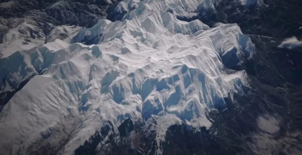
A magical video by Meteo captured images of the snow-capped mountains of Pindos, including the peak of Tzoumerka, in high definition satellite images.
In the video published by Meteo - the National Observatory of Athens, a drone took a video over the mountains of Central Pindos, starting from Tymfi and Smolikas, and ending at the Athamanika Mountains (Tzoumerka).
In fact, the sunshine that prevailed that day, January 28, allowed the recording of the snow-covered ground even in forested areas. The ultra-high resolution satellite images of the European Sentinel-2 satellites allow the detailed recording of the snow-covered terrain with a spatial resolution of 10 metres.
Watch the video:
READ MORE: Manolis Kallistis: The most impressive Muay Thai fight knockout in Thailand - Watch video.
