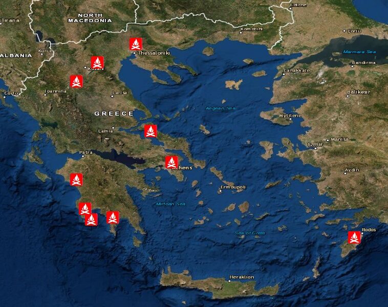
Some 60,000 acres have been destroyed by the fires ravaging Greece for the period 1-4 August 2021 according to the recent data by the National Observatory of Athens, adding that this damage is 50% more than is usually burned in an entire firefighting season.
According to BEYOND center of the National Observatory of Athens (EAA), the initial calculation of the burned areas of the fires in Rhodes (1/8/2021), Attica (3/8/2021), Evia (3/8/2021) and in Eastern Mani (3/8/2021) amounts to about 6,000 hectares (60,000 acres). In 2020 the total burned area was 10,376 hectares, while in 2019 9,405 hectares (one hectare equals ten acres).
Taking into account the large fires in May – July 2021 (Aigio 252.22 hectares, Samos 406 hectares, Styra Evia 395 hectares, Kefalonia 604 hectares and Schinos Corinth 5,020 hectares), the burned area this year amounts to approximately 124,000 acres.
The BEYOND Operational Unit of the Observatory (IAADET / EAA) said that they will proceed with the detailed mapping of the burned areas after processing high-resolution images captured from the European satellite Sentinel.
