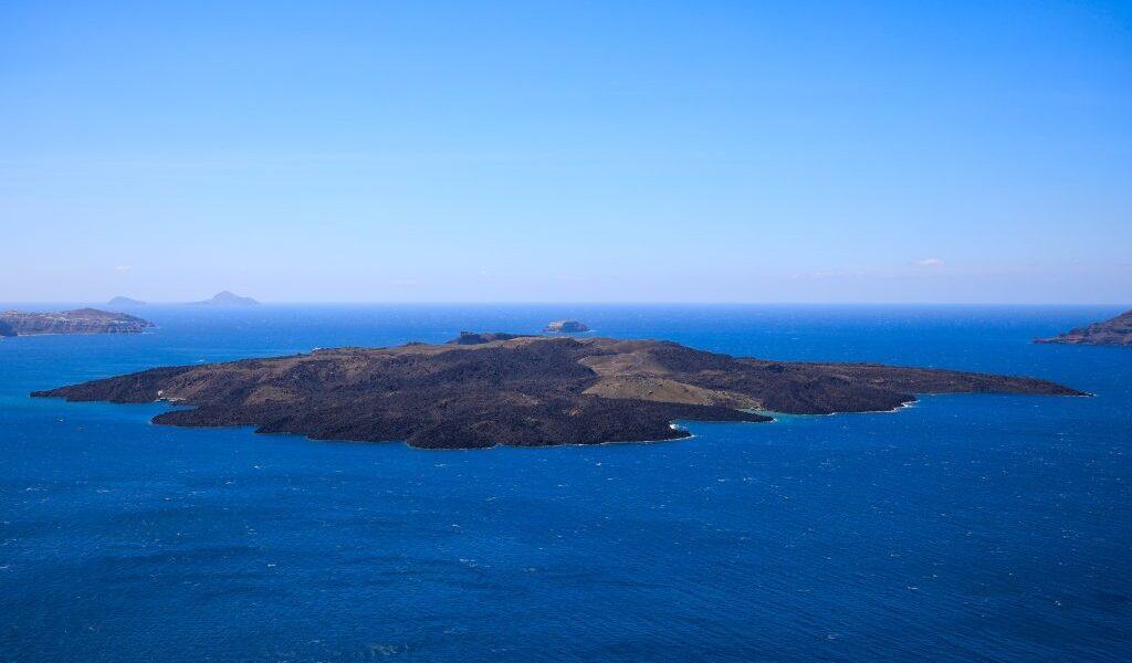
An international oceanographic mission has completed an extensive underwater scan of the Aegean Sea, focusing on the wider Santorini region, one of the world’s most geologically active areas. The third phase of the ambitious Multimarex mission, funded by the German government and aimed at assessing natural disaster risks, concluded in early January after weeks of seabed mapping using robotic systems and artificial intelligence.
Preliminary findings indicate intense activity at the Kolumbo submarine volcano, including strong gas emissions and widespread layers of highly resilient microbial communities on the seafloor. Scientists expect further analysis of collected samples to yield critical insights into volcanic behavior and the seismic zones shaping the region.
During the mission, researchers retrieved eight underwater seismographs northeast of Santorini that had been installed in early 2025 to monitor seismic activity. Several of the instruments included pressure sensors that recorded vertical deformation of the seabed, data considered vital for understanding the seismic unrest observed in spring 2025 and magma movement beneath the volcanic centers.
The team also deployed five new underwater seismographs around Santorini. Three stations were placed inside the island’s caldera and will remain in place until autumn 2026 to monitor seismicity and ongoing uplift or subsidence linked to magma movement. Two additional stations were installed inside the Kolumbo crater and southeast of the volcano in an area of previously observed seismic excitation, where they will record seismic, pressure, and temperature data for up to two years.
Researchers further examined the active fault zone between Santorini and Amorgos, a major tectonic structure that appears in places as seabed fractures reaching depths of up to 60 meters. Using robotic vehicles, the team mapped underwater lava flows, including a lava tongue from the 1570 volcanic eruption at a depth of 380 meters. They also conducted studies to assess which coastal areas of Santorini may face heightened risks of rockfalls or ground instability.
The expedition explored the so-called “Kallisti Lakes” within Santorini’s caldera, formations whose origins remain unclear, and deployed a network of five shallow-water seismograph stations off the island’s southern coast. These stations will transmit seabed data to the surface and exchange information between themselves, enabling early seabed-level analysis using artificial intelligence to assess whether seismic events could reach a magnitude capable of triggering a tsunami.
The mission ran from December 17, 2025, to January 10, 2026, and involved 21 scientists, engineers, and technicians from Germany’s GEOMAR Helmholtz Centre for Ocean Research and Kiel University, alongside Greek researchers from the National and Kapodistrian University of Athens and meteorologists from the German Weather Service. Dr. Heidrun Kopp of GEOMAR led the expedition.
Stay updated with the latest news from Greece and around the world on greekcitytimes.com.
Contact our newsroom to share your updates, stories, photos, or videos. Follow GCT on Google News and Apple News.