Following the precedent set by Mykonos, Santorini is moving towards implementing stringent restrictions on construction to safeguard its iconic landscape and cultural heritage.
A proposed Special Urban Plan (SPP), unveiled by the Secretary General of Spatial Planning and Urban Environment, Efthymios Bakoyannis, outlines measures to limit housing and tourist accommodation developments on the island.
The plan increases the minimum plot size for residential construction outside urban zones from 4 acres to 8 acres. For tourist infrastructure, the requirement rises significantly to 40 acres, with a low building coefficient of 0.15, compared to the current 8-acre minimum. These measures aim to preserve the island’s natural beauty and curb overdevelopment.

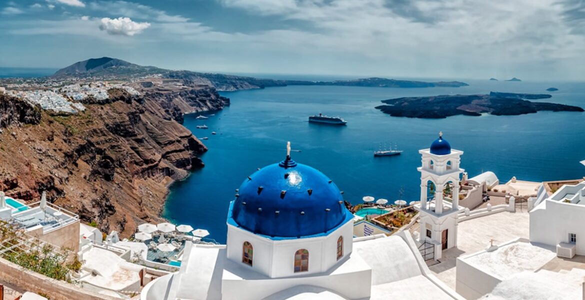
In Santorini’s Caldera, a complete building ban is proposed due to the risks of landslides and the need to protect the iconic volcanic landscape. Only essential safety and infrastructure works, such as slope reinforcements and port facilities, would be permitted in the area.
The proposed plan also seeks to create designated zones for agricultural and industrial activities, aiming to bolster Santorini’s lagging primary and secondary sectors. Alternative forms of tourism are encouraged, with zones for tourism and recreation identified along specific coastal areas, such as Perissa and Monolithos.
The plan outlines a vision for diversifying Santorini’s economy by balancing tourism with other productive activities. A logistics and commercial hub is proposed near the airport and the planned new port in Monolithos to support this transition.

Protecting Traditional Settlements
To preserve Santorini’s architectural heritage, the plan includes new zoning regulations for traditional settlements, including Tholos, Finikia, and Imerovigli. Small extensions of settlements, such as Oia and Fira, are proposed to address projected population growth by 2040 while avoiding excessive expansion that could disrupt the island’s character.

The plan reduces development zones from 71.8% to 33.3% of the island while increasing protection zones to 66.7%. Citizens and organisations can submit feedback on the Environmental Impact Assessment (EIA) through an online participation platform until mid-next week. A strategic consultation on the environmental impact will follow.
Stay updated with the latest news from Greece and around the world on greekcitytimes.com.
Contact our newsroom to share your updates, stories, photos, or videos. Follow GCT on Google News and Apple News.